Abstract
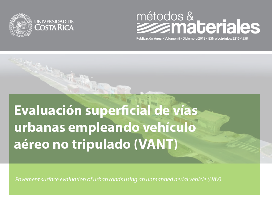
This research paper presents an alternative methodology for the surface evaluation of pavements on urban roads, using georeferenced images obtained by an unmanned aerial vehicle (UAV) that are processed by generating an orthophoto and a high-resolution 3D digital model. The analysis of the generated products allows the total inspection of the pavement in a safe way, identifying the type of deterioration, its severity and its damaged density, as parameters and inputs to use the Pavement Condition Index (PCI) Method. The results obtained in a test track show that the VANT method collects data in a safer way, allows more informative plans with reliable values and avoids accidents of the technical staff in comparison with the traditional method. This research innovates an alternative procedure to evaluate pavements periodically in order to establish strategies for maintenance and rehabilitation of urban roads.
References
American Society for Testing Materials (2016). Standard Practice for Roads and Parking Lots Pavement Condition Index Surveys ASTM D6433-16, West Conshohocken, Estados Unidos.
Gutierrez W. (2016). Mecánica de Suelos Aplicada a las Vías de Transporte. Editorial Macro, Lima, Perú.
Martinez P., Ojeda D., Perez E., & Brazo F. (2009). “Vehículos Aéreos No Tripulados (VANT) En Cuba, Aplicados A La Geomática, Estado Actual, Perspectivas y Desarrollo”. Cuba.
Zhang C. &Elaksher A. (2012). “An unmanned aerial vehicle- based imaging system for 3D measurement of unpaved road surface distresses”. Computer-Aided Civil and Infrastructure Engineering, Vol 27, Issue 2. Pp. 118-129. Estados Unidos.


